Every shot type we offer for residential and commercial photography — documented with real examples so you know exactly what you're getting before we fly.
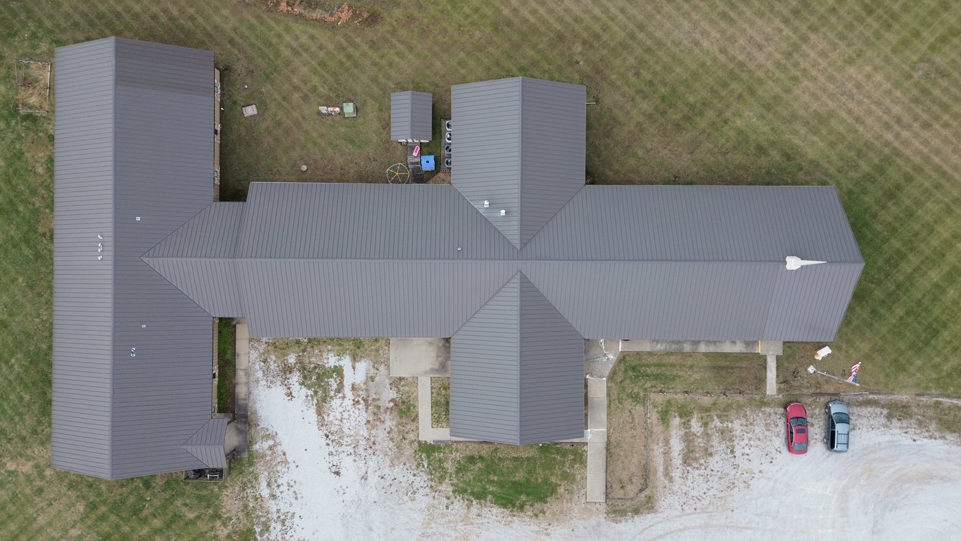
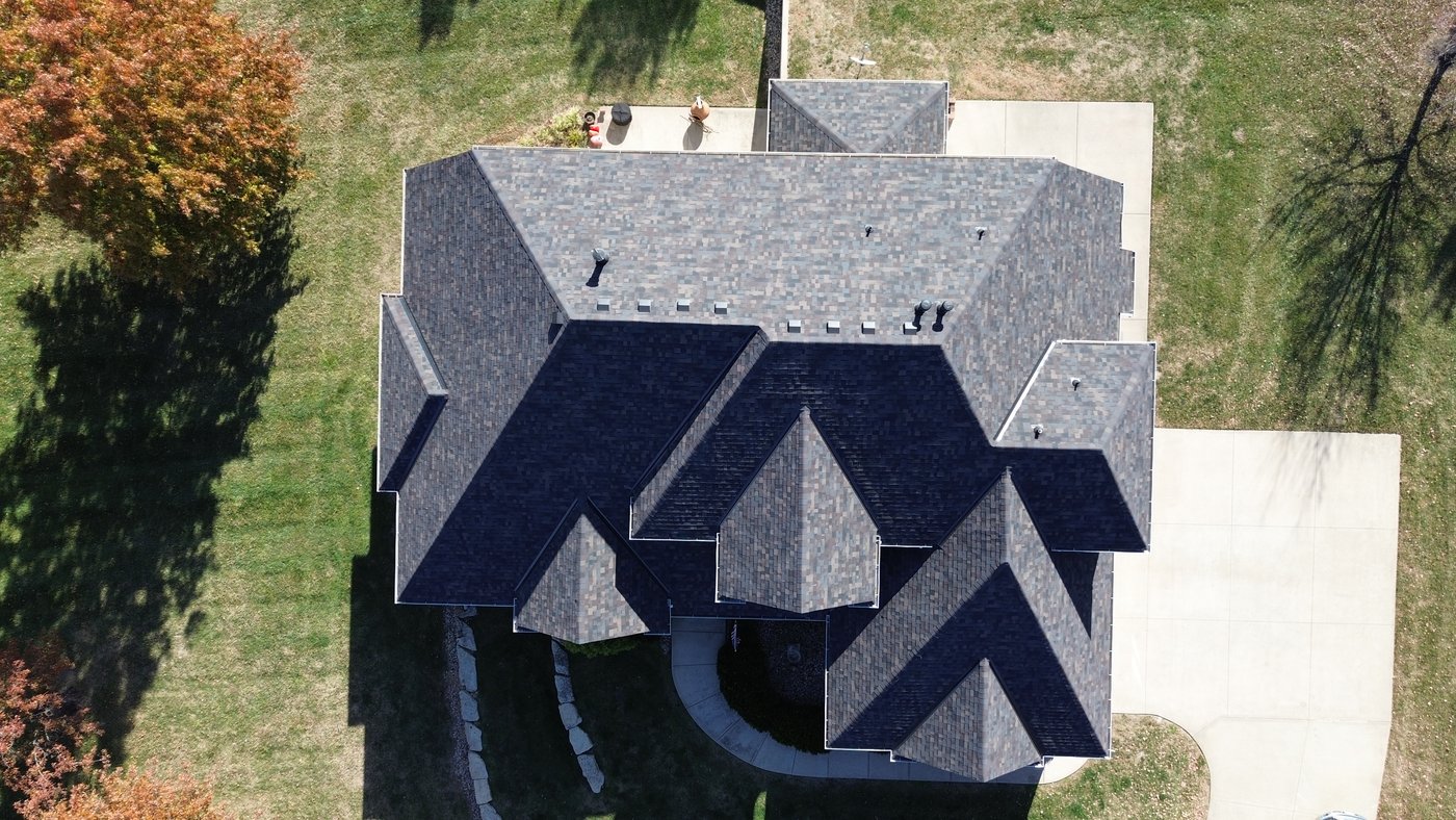
Straight-down overhead shot with the subject filling approximately 90% of the frame with a clean border around the property. The most accurate representation of lot size, layout, and property footprint.
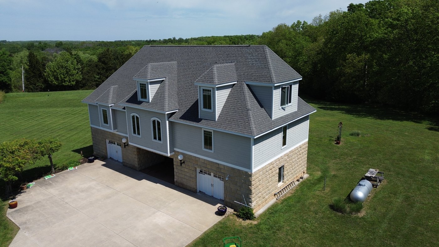
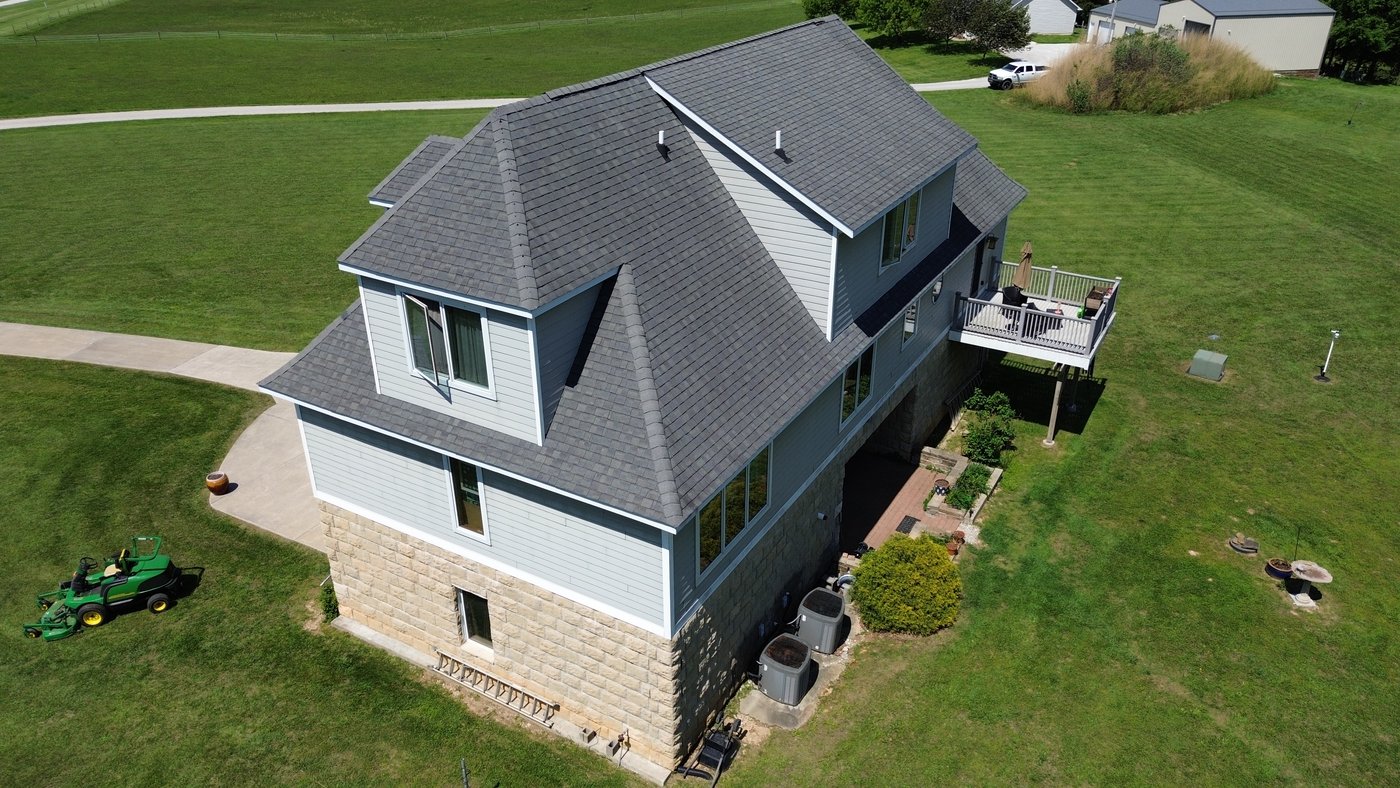
Low-altitude angled shots that show off the home's form and architecture. The property sits large in the frame while still showing surrounding yard and landscape.
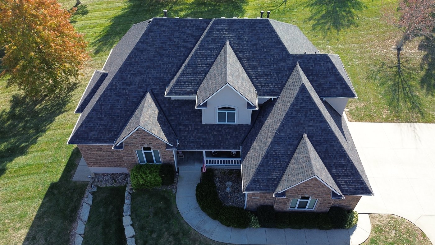
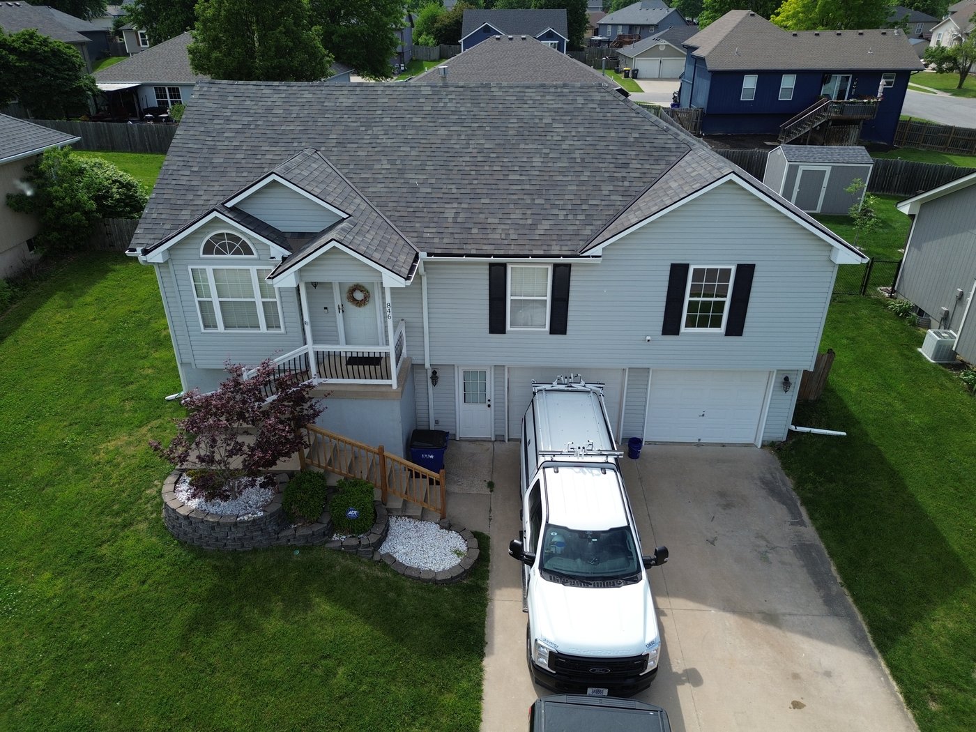
3–5 photos focused on the front elevation of the property. One perfectly centered, two slightly off-center, and two from the corner angles looking back at the front face. Flown just above roofline to show the full facade without distortion.
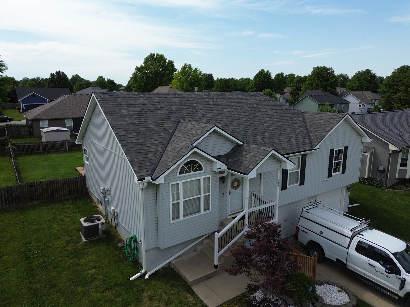
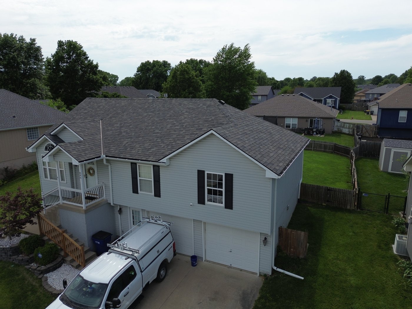
8 shots covering all cardinal and intercardinal directions — N, NE, E, SE, S, SW, W, NW. Flown at two altitudes: low (~100 ft) for close detail and high (~350 ft) for full site context and horizon. The property sits in the lower portion of the frame with the horizon visible at the top, showing location, surroundings, and scale.
For large commercial properties where the structure won't fit in a single frame, an aerial video pass is recommended instead — we'll advise at booking.
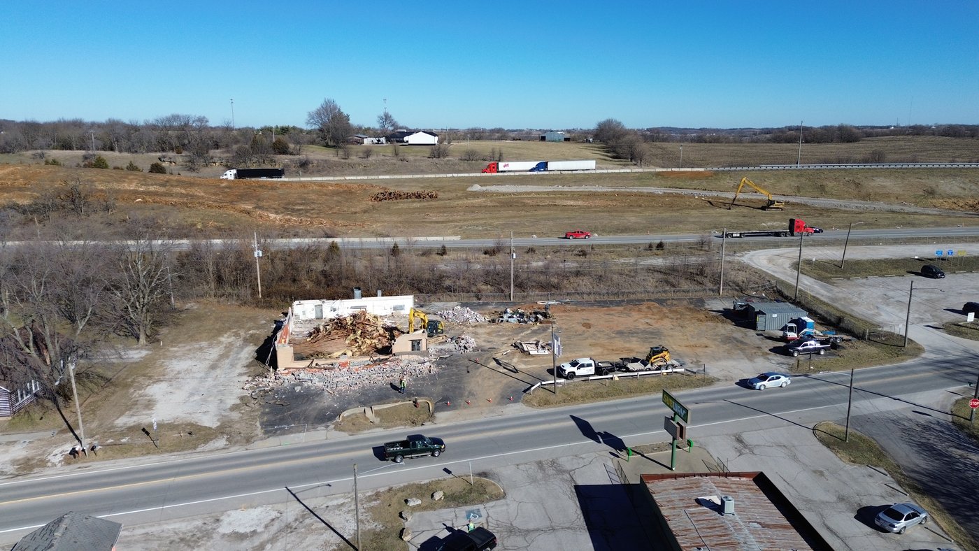
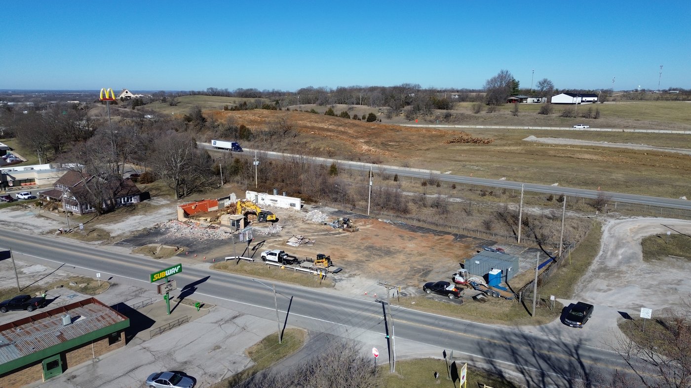
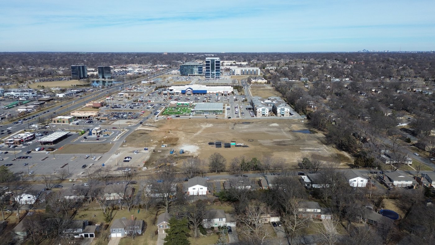
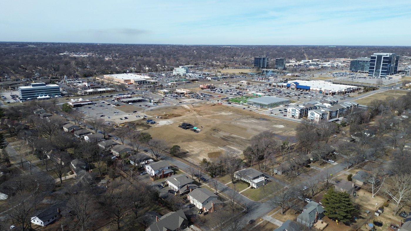
A continuous automated orbit around the full perimeter of the property, camera locked on the structure the entire time. Delivers a smooth 360° cinematic reveal that no handheld shot can replicate. Available raw or fully edited with color grading and music — edited is included in Premium packages.
Golden hour and blue hour shoots scheduled around sunset for dramatic warm and cool tones. Interior lights visible, sky transitioning — the most visually striking conditions for real estate photography. Requires scheduling around sunset time and weather.
One add-on fee covers the session — request as many video types from the list below as you need. Specific shots can also be requested at booking.
A georeferenced, stitched overhead map of the property — accurate enough to measure from. Delivered as a GeoTIFF and labeled JPEG. Uncommon for standard real estate listings but useful for large lots, acreage, or unusual properties where lot layout matters.
The video below shows real distance measurements being taken directly from an ortho — no site visit required. Add a Measurement Report and we'll send you a full list of dimensions with labeled screenshots.
A full photogrammetry-processed 3D model of the property with real texture applied. Fully interactive in any browser — rotate, zoom, and inspect from any angle. Useful for high-end listings, unique architecture, or properties where buyers benefit from exploring the structure before visiting.
Drag to rotate · Scroll to zoom · Real processed model from an actual job
Select a base package and any add-ons to build an estimate. All pricing is subject to final confirmation. Travel fees and deposit info →
50% deposit due at booking. Travel fees not included — see booking page for details. All pricing subject to final confirmation.
See full package pricing or send us your job details.